Source: NASA Earth Observatory
Hunting red leaves from space
A visual feature from NASA Earth Observatory that uses satellite imagery to show how autumn reds sweep across different regions of the planet.
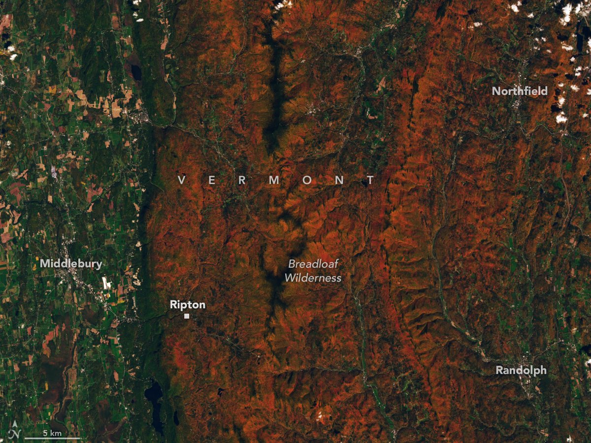
“Hunting Red Leaves With Satellites” draws on the Japanese tradition of momijigari, going out to admire the red leaves of autumn, and takes it into space: scientists measure how much red, orange and yellow a forest shows against its green and track that ratio over time.
The data come from NASA’s PACE satellite, which observes vegetation almost daily across 286 spectral bands, and from Landsat 9, which supplies the close-up of Vermont’s mountains. The maps show the red moving south from New England, northern Canada and Russia.
One caveat: not every red is autumn. Crops, drought and pests also change pigment levels, and clouds can leave gaps in the maps.